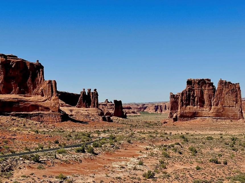
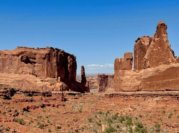
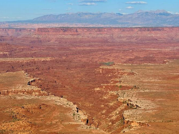
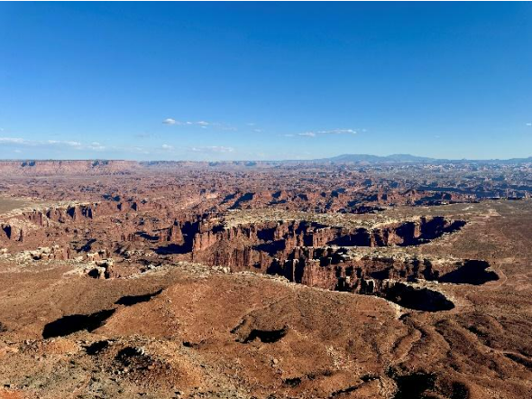
Growing up, I watched a lot of cowboy movies. The film industry doesn’t make many of them anymore, but they’ll always hold a special place in my heart. I remember being especially fascinated by the landscapes – canyons, prairies, and mountains stretching endlessly, dwarfing the characters on horseback. Visiting Arches and Canyonlands National Parks felt like stepping right into those movie sets, making it the absolute highlight of my Utah national parks visit.
The Arches National Park drive covers about 36 miles (58 km) roundtrip, with plenty of stops to soak up the scenery and snap photos that simply can’t do the place justice. The park’s natural arches and other fascinating rock formations are stunning, but be prepared: there’s little shade, no services (food, gas, or water), and the weather is hot in the spring, summer and autumn, while winter can be quite cold.
Canyonlands National Park, “adjacent” to Arches, has its own massive, jaw-dropping vistas carved by the Colorado River, featuring deep canyons that resemble giant footprints from animals well before our time. This park is divided into four distinct sections.
Both parks are open year-round, but only accessible by private vehicle. Note that Arches has a strict, timed-entry ticket system (USD 2), which I highly recommend booking well in advance – or you could miss entry altogether. Plan months ahead, not days.
Getting There
Driving between Arches National Park Visitor Center and Canyonlands’ Island in the Sky Visitor Center takes about 35 minutes (29 miles / 46 km). While I did both parks in one day, I’d actually recommend spreading them over two days unless you really love driving.
Arches National Park is 233 miles (434 km, about 3.5 hours) from Salt Lake City and 369 miles (594 km, about 6 hours) from Denver, CO.
Arches National Park and Canyonlands Scenic Drive
Driving between Arches National Park Visitor Center and Canyonlands’ Island in the Sky Visitor Center takes about 35 minutes (29 miles / 46 km). While I did both parks in one day, I’d actually recommend spreading them over two days unless you really love driving.
Arches National Park is 233 miles (434 km, about 3.5 hours) from Salt Lake City and 369 miles (594 km, about 6 hours) from Denver, CO.
Parking
Most viewpoints have at least 1 or 2 accessible parking spots, and cars tend to rotate through quickly.
Bathrooms
The Visitor Centers boast the most well-equipped and accessible bathrooms for wheelchair users, with sturdy railings for additional support. Visitors using motorized vehicles should also have no trouble accessing these facilities.
Restrooms at other stops and overlooks are primarily USFS (U.S. Forest Service) vault toilets, which are generally wheelchair/motorized-accessible but can have limited railings.
Accessibility Insight
There isn’t a specific route or order I would recommend for visiting these parks – instead, I’ll focus on the stops, and you can choose for yourself. For the sake of organization, I’ll write about them from the entry point (check-in area) to the end.
All viewpoints have wheelchair-accessible pathways with curb cuts, though access and views may vary at each viewpoint. Unless otherwise noted, all paths to the viewpoints are paved and relatively flat.
Arches National Park
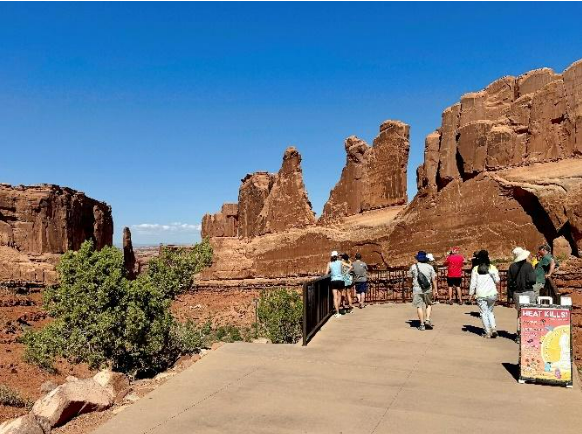
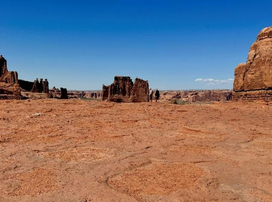
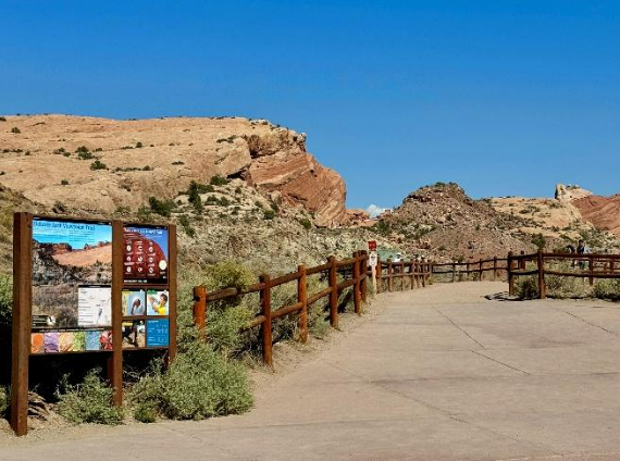
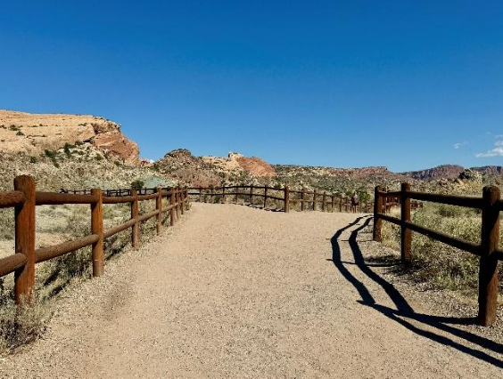
Park Avenue Viewpoint
From the parking area, there’s a short, paved, flat path leading to a stunning introductory view of what this park has to offer.
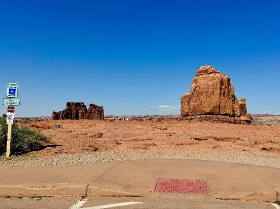
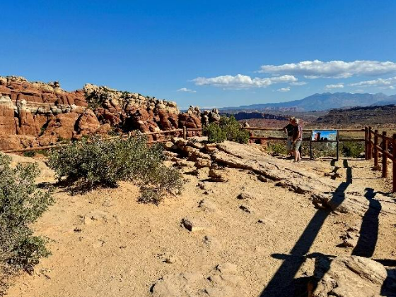
La Sal Mountain Viewpoint
While this is probably the least wheelchair-friendly viewpoint, it’s still worth stopping for the view from the car or sidewalk, as the elevated angle into the park is stunning. With sturdy wheels and a strong hand to push and stabilize the wheelchair, crossing the ground to the edge is possible, but it will be a very bumpy ride.
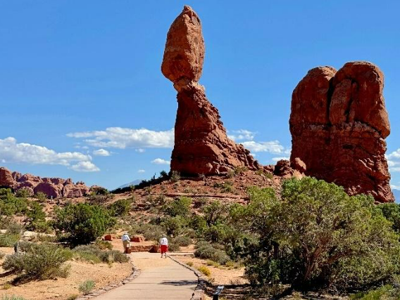
Balanced Rock (picnic tables and bathrooms)
This viewpoint has a fairly large parking area with several accessible spaces, and the distance to the rock if you want to get up close is short. The trail around is only 0.3 miles (0.5 km) on a hard surface, but it’s not entirely paved all the way. This can be easily solved by just doubling back.
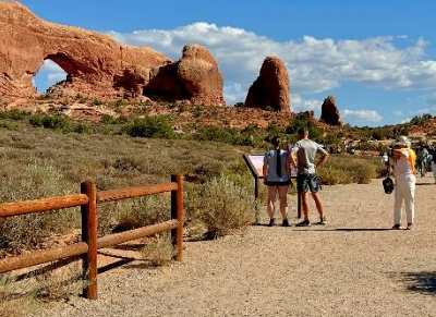
The Windows (bathrooms)
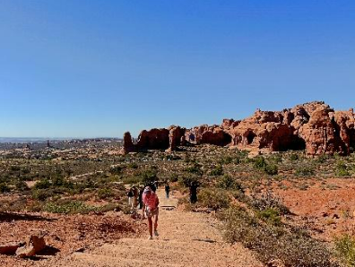
While you’ll definitely get a sense of the area from the large parking area, the only way to reach the North Window is via a gentle climb along mostly stairs, about 0.2 miles (0.3 km). From there, you can either make your way back down or continue to another formation, Turret Arch, for another 0.2 miles (0.3 km). Elevation isn’t too difficult, but it can be hot and crowded, and the stairs are uneven and potentially slippery due to sand and dust.
The first 0.1 mile (0.2 km) from the parking lot is a flat, hard surface dirt path that can get you a bit closer to the formations if you’re using wheels. If you do the whole loop, it totals 0.5 miles (0.8 km).
This is a popular spot, and while there are several accessible spaces, many visitors spend time here doing the short hike and take pictures, so you might need to exercise some patience while locating a parking space.
Delicate Arch Viewpoint (picnic tables and bathrooms)
Delicate Arch has an upper and lower viewpoint, with only the lower viewpoint being accessible. There are just a few short steps before the paved sidewalk turns into a hard surface with sand and gravel, which might make it difficult for smaller wheelchair wheels but manageable. The length is 200 feet (61 m) with no elevation change to view the arch (which is quite far in the distance). The upper viewpoint is accessible via a 1-mile (1.6 km) hiking trail (elevation change 171 feet / 52 m). If you need to cut a stop due to time constraints, this is it.
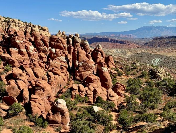
Fiery Furnace Viewpoint (bathrooms)
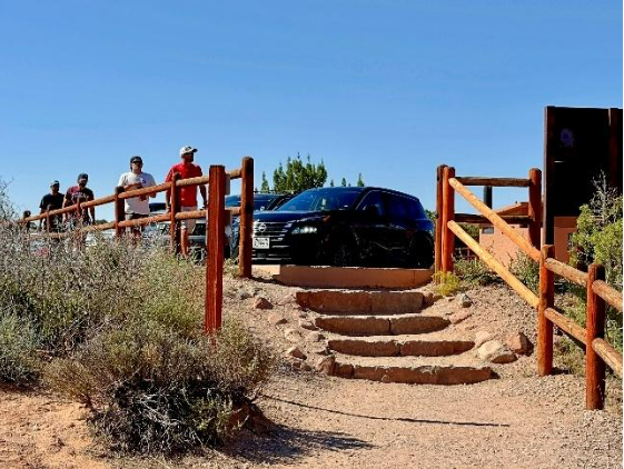
The main viewpoint is only reached by walking down five steps and then walking 500 feet (152 m) on a hard dirt surface. As you approach the viewpoint, the ground becomes rocky and uneven. That said, you can still see the formations from the parking lot, making it worth a stop.
Canyonlands National Park
The drive from Arches National Park to Canyonlands (Island in the Sky Visitor Center) is stunning, especially as you turn off US 191. The entire drive of 29 miles (46 km) takes about 40 minutes.
Canyonlands National Park is split into four districts:
– Island in the Sky (covered in this article) is the most popular, most accessible, and closest to Arches National Park. This area rests 1,000 feet (305 m) above the terrain, offering spectacular views from various viewpoints along a 34 mile (55 km) roundtrip journey from the visitor center.
– The Needles District is known for its more challenging hikes and rugged trails along colorful rock spires.
– The Maze is one of the least accessible parts of the park, requiring off-road skills or backpacking.
– The Rivers are known for rafting and kayaking on the Green and Colorado Rivers.
Green River Overlook
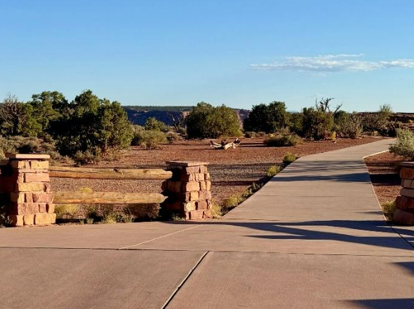
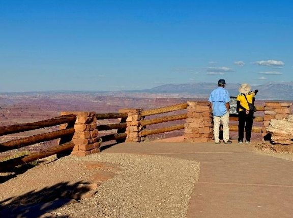
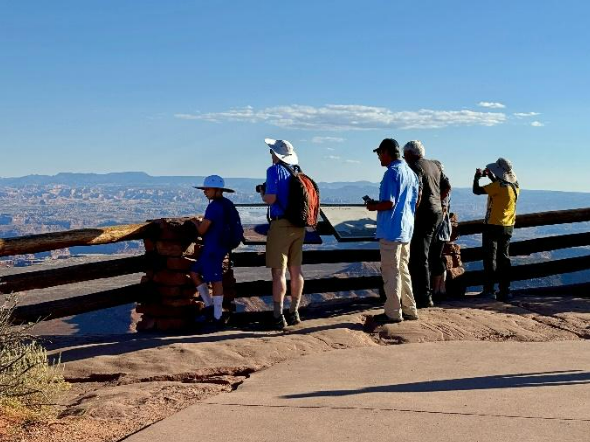
This overlook features a short paved pathway right next to the parking area, leading to two different viewing areas. Both have fences and offer good views, but note that the second viewpoint has rocky and uneven ground well before you reach the fence. The first viewpoint provides great views regardless.
Tip: There’s a sign at the second overlook that describes your view, so you might want to have someone with functional legs grab a picture of the sign for you.
Buck Canyon Overlook (bathrooms)
This overlook also has a short paved pathway next to the parking area, leading to a fully wheelchair-accessible overview with a fence well-suited for seated visitors.
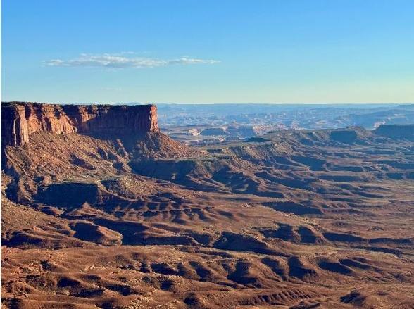
Grand View Point Overlook (bathrooms)
This is the overlook furthest from the visitor center (12 miles/20 km) and lives up to its name regarding the view and fascinating canyon formation. For some reason, the short paved path from the parking lot stops just shy of the fence, which I find ill-thought-out for seated visitors. While the space between the boards in the fence is wide enough to look through, it doesn’t provide the same effect as being fully up front and center.
Additional Access Information & Where to Learn More
– Official Arches Canyon National Park website:
https://www.nps.gov/arch/index.htm
– Webcams:
https://www.nps.gov/arch/learn/photosmultimedia/webcams.htm
https://www.nps.gov/cany/learn/photosmultimedia/webcams.htm
– Arches NP Timed Entry Tickets:
https://www.nps.gov/arch/planyourvisit/timed-entry-reservation.htm
– Official Canyonlands National Park website:
https://www.nps.gov/cany/index.htm
Contributor Profile
My name is Adele Heidenreich, and I am a freelance travel writer based in Oslo, Norway. I was born with a muscular condition called Arthrogryposis (AMC), which has given me firsthand experience using both a wheelchair and crutches in my daily life.
So far, I have visited over 70 countries and rely heavily on thorough research before traveling.
This preparation allows me to experience destinations with the same sense of discovery and enjoyment as most tourists while ensuring the trip is accessible and stress-free. The more I know in advance, the smoother my journey is.
I hope the guides I have provide offer valuable insights into the layout and accessibility of these beautiful places for everyone.
~ Adele
Follow along:
Website Instagram LinkedIn


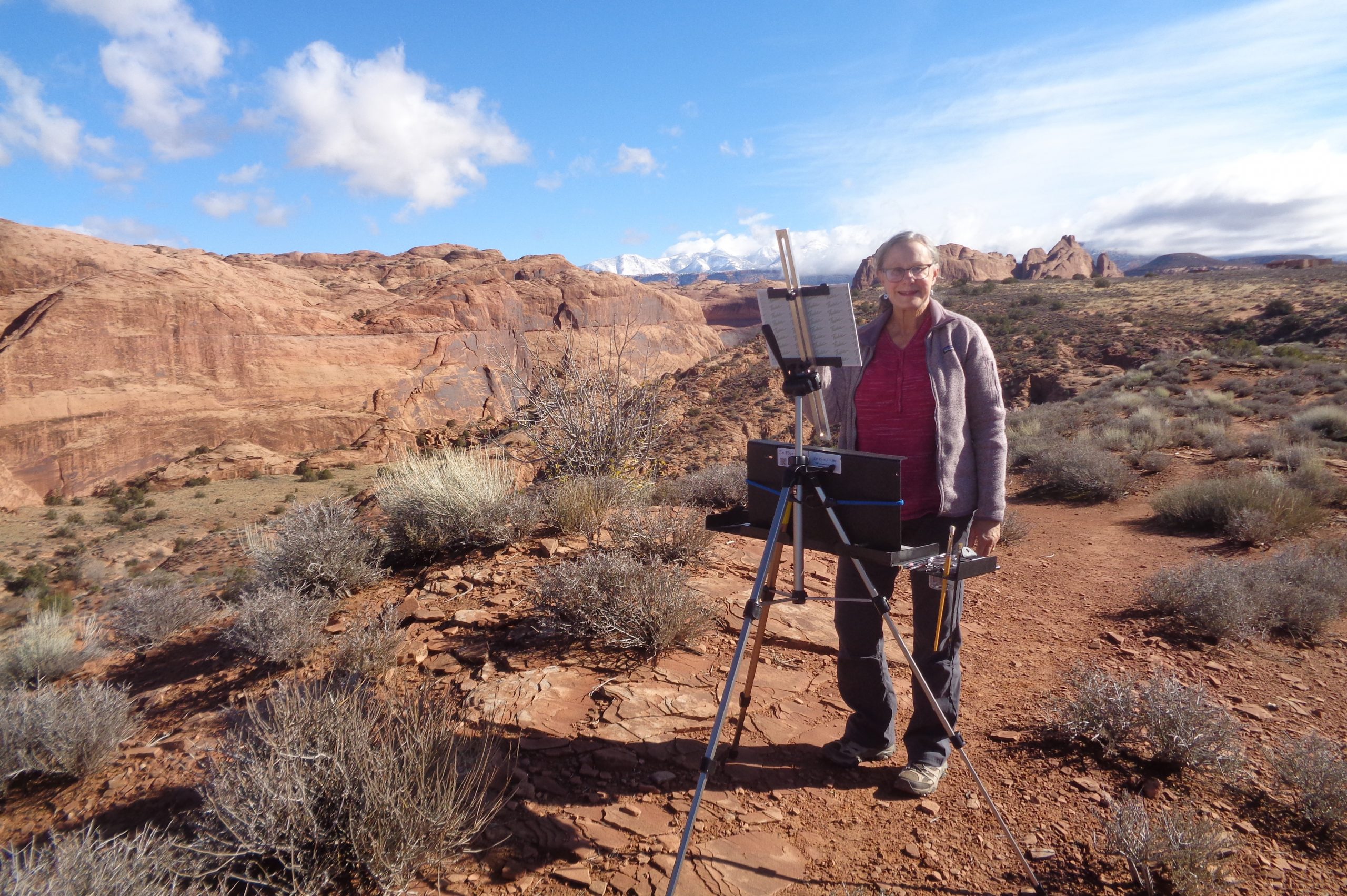 Charlotte Quigley, 2025 Community Artist in the Parks [Courtesy of the National Park Service]
