- Attractions
- Activities
- Lodging + Campgrounds
- Area Info
- Services
- Transportation

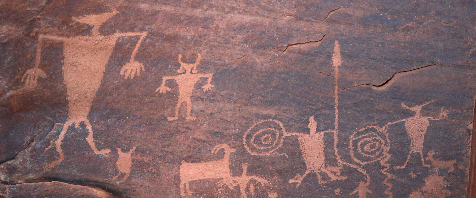
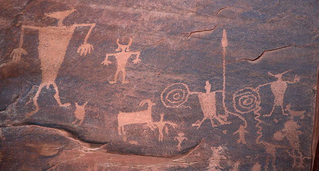
Rock Art Protection
Rock art sites located on federal lands are of national significance and are protected areas. These remarkable artistic creations are incredibly delicate, and any damage inflicted upon them is irreversible. It is crucial to refrain from touching the rock surfaces at these sites, as even a single handprint can have lasting chemical effects on the art.
The preservation of these fragile and beautiful remnants from the past is our responsibility, and we must exercise caution to ensure that future generations can marvel at them as well. If you happen to encounter rock art during your travels around the Moab area, please observe the following precautions diligently:
The fragility of our public lands, shaped over millions of years, calls for your thoughtful approach while exploring Moab. We kindly request that you engage in responsible recreation during your visit, demonstrating respect, protection, and preservation for our awe-inspiring landscape. By recreating responsibly in Moab, you contribute to the continuity of the incredible experiences enjoyed by both current and future generations. Click on the symbol below to delve deeper into this important topic.
![]()
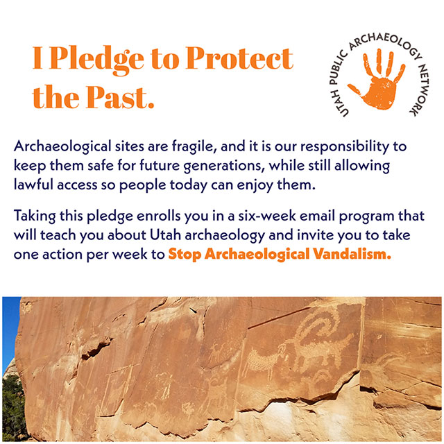
Click here to the the pledge.
For a more optimal web experience, please view our site on Microsoft's recommended browser, Edge. You can download it here.