×
attractions activities lodging + campgrounds area info services transportation events submit an event moab snapshot contact search Visit Utah

la sal mountains

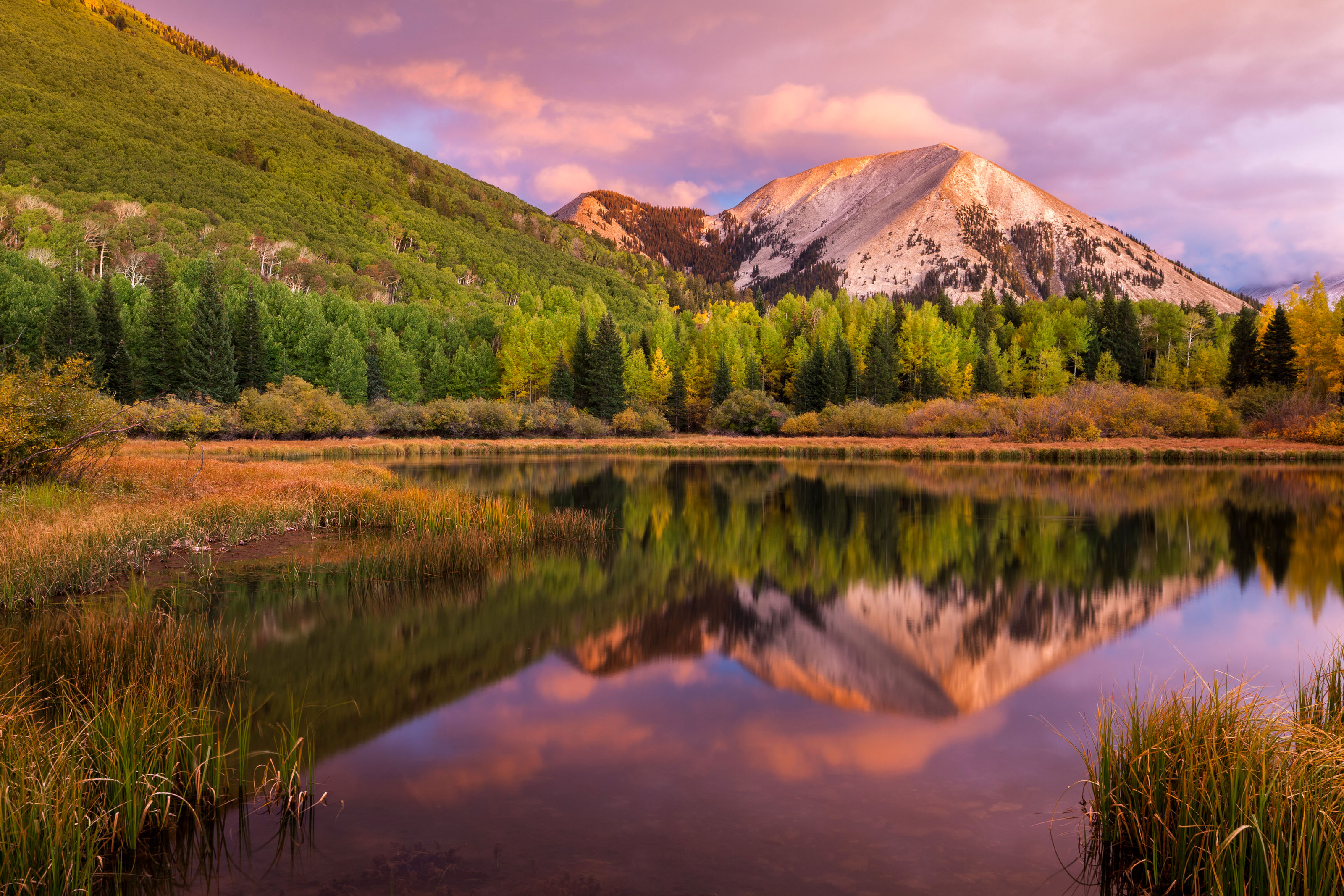
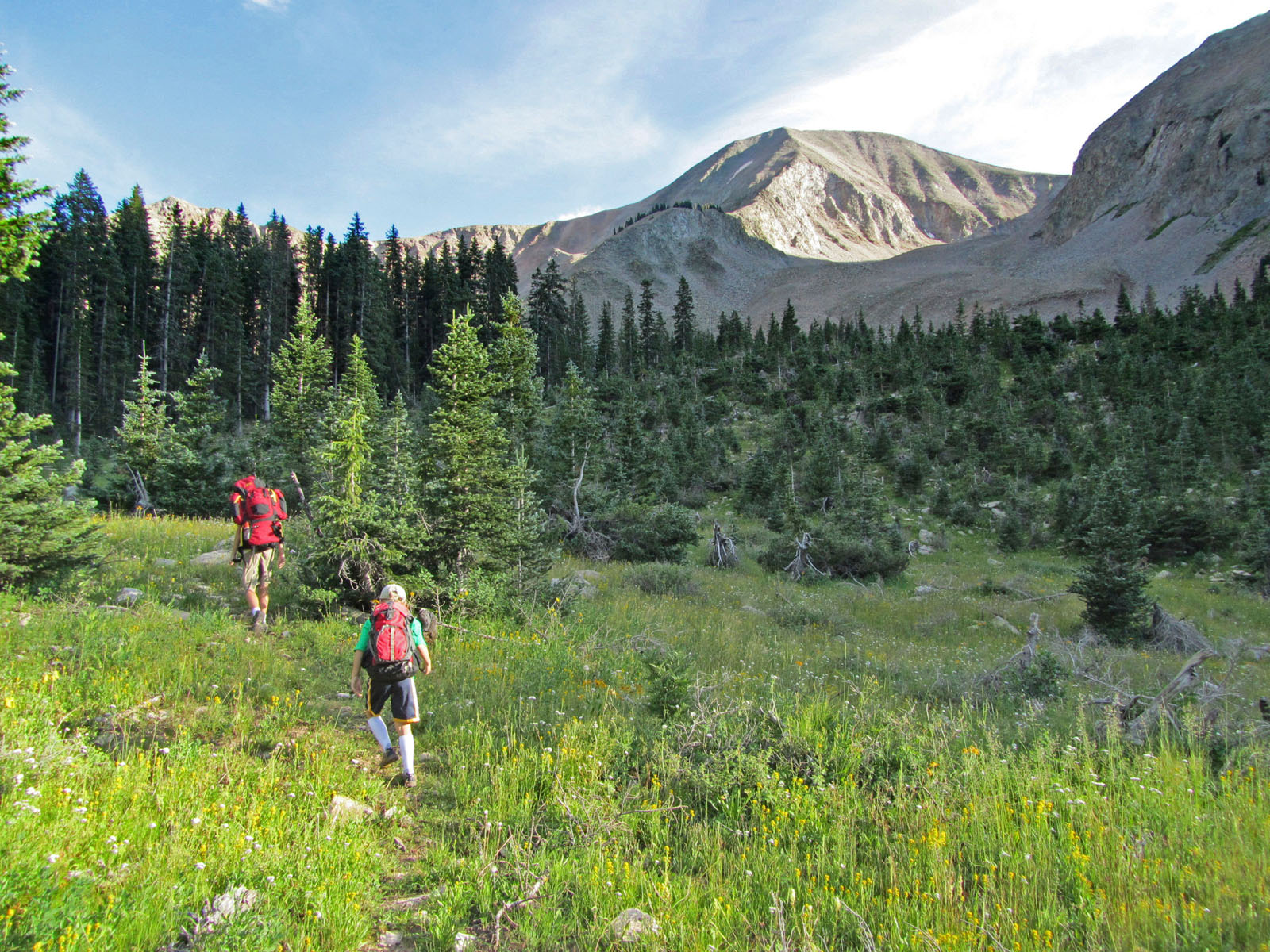
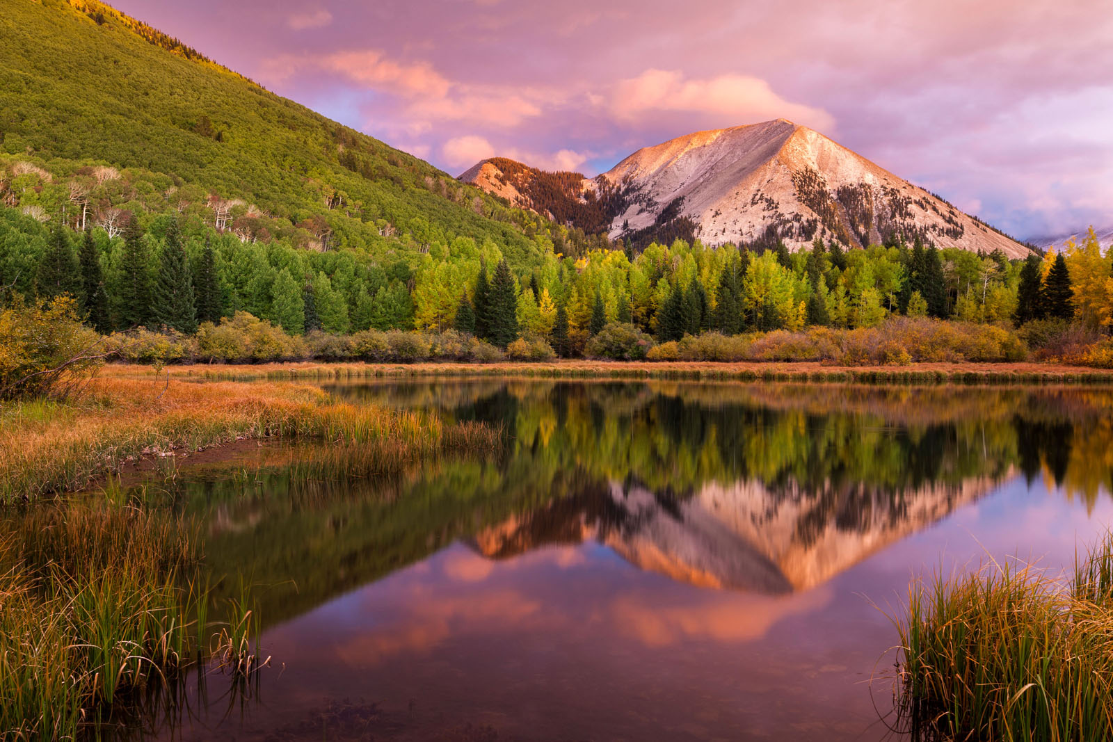
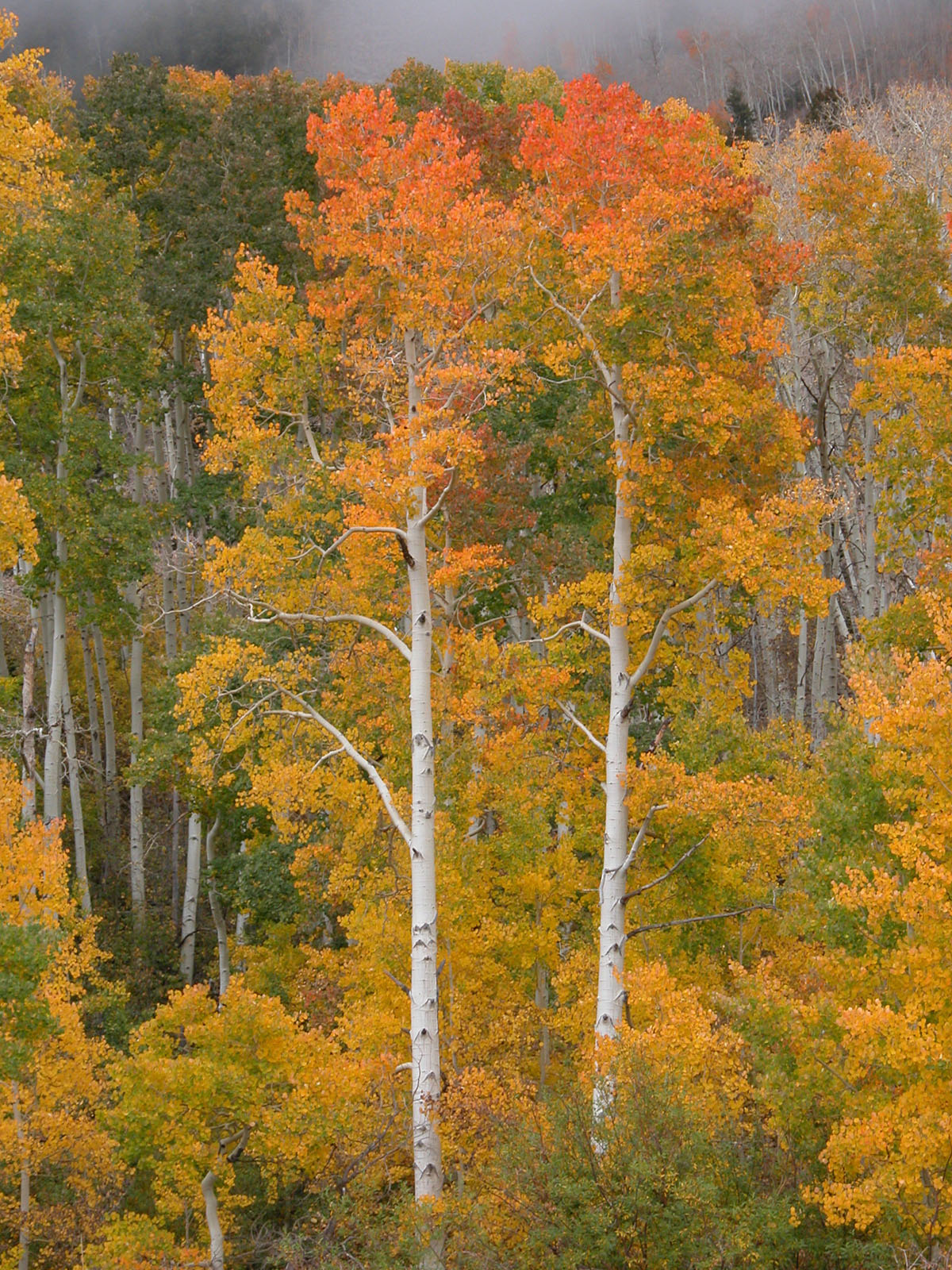
La Sal Mountains & The Loop Road

Whispering pines, quaking aspens, and bubbling brooks make a family outing in the forest an unforgettable experience.

Introduction

Just 20 miles south of Moab are the La Sal Mountains, which are part of Manti-La Sal National Forest. Attaining heights of nearly 13,000 feet, these alpine mountains are the second highest mountain range in Utah. Numerous hiking and mountain bike trails, along with picturesque campsites, make these mountains a great complement to your visit to Moab. Whispering pines, quaking aspens, and bubbling brooks make a family outing in the forest an unforgettable experience. Great trout fishing can be found in several beautiful lakes and streams throughout the La Sals. For current conditions in the La Sal Mountains, contact the Manti-La Sal National Forest District at (435) 259-7155.

Warner Lake Campground

Warner Lake Campground can be accessed by driving south on 191 form Moab for approximately 6 miles and then turning east onto the La Sal Loop Road towards Kens Lake. Drive on the La Sal Mountain Loop Road for approximately 10 miles to the Warner Lake Road, which is a 5 mile graded dirt road. The campground has toilets, picnic tables, and fire grills. (Camping and picnic fees charged.) Camping reservations for Warner lake can be made online at the National Recreation Reservation Service website: recreation.gov.

La Sal Mountain Loop Road

The La Sal Mountain Loop Road Scenic Backway features spectacular scenery ranging from the forested heights of the La Sal Mountains to expansive views of the red rock landscape below. This paved Scenic Backway begins on US 191, six miles south of Moab, and winds north over the La Sal Mountains through Castle Valley, ending at Upper Colorado River Scenic Byway U-128. Returning to Moab provides a 60 mile loop drive that requires approximately 3 hours to complete. Note that several hairpin turns on the Castle Valley side of this route are unsuitable for very large RV’s.
The La Sal Mountain Loop tour features a wide variety of canyon country scenery. The 60-mile route begins by following the Colorado River, then it approaches the La Sal Mountains via Castle Valley. The route through the Manti-La Sal National Forest offers great views of the 12,000 foot plus peaks and the red rock canyons far below. Completion of the loop brings the motorist back to Moab via U. S. Highway 191. Drive north from Moab on U.S. Highway 191 and turn right onto Scenic Byway 128 just before the bridge. Arches National Park is located along the north side of the river. Grandstaff Canyon’s small stream meets the Colorado 3 miles up-river from the bridge. This canyon is well known for its hiking opportunities. Big Bend Recreation Site, located about 6 miles east of the U.S. 191/UT 128 junction, offers access to the river, a nice beach, camping, disabled access facilities and a picnic area. Swimming in the river is not recommended. At the Castle Valley road, you can either turn right and follow the main loop tour or take a side trip along Utah Highway 128 to Fisher Towers (5.6 miles) and the historic Dewey suspension bridge (15 miles). Driving up Castle Valley, the Priest and Nuns and Castle Rock are situated on your left about 4 miles from Scenic Byway 128. If these formations look familiar, it’s because they have been “in the movies.” The La Sal Mountain Loop Road turnoff is 11 miles from Scenic Byway 128. Turn right. As you enter the National Forest, notice how the vegetation changes as you gain elevation. Pinyon and juniper trees give way to oak, then to larger pines and aspen. The highest timbered areas are covered with spruce and fir. Be sure to stop at the overlooks along the road. A 5-mile long graded dirt side road leads to a Forest Service campground at Warner Lake. The campground has toilets, picnic tables, and fire grills. (Camping and picnic fees charged.) Camping reservations for Warner lake can be made online at the National Recreation Reservation Service website: recreation.gov. After the Warner Lake turnoff, the Loop Road descends into Mill Creek Canyon and then climbs again before starting its descent to Moab. The tour route rejoins U.S. Highway 191 south of Moab.

Resources

For current conditions in the La Sal Mountains, contact the Manti-La Sal National Forest District:  

Moab Ranger District

  62 East 100 North Moab, UT 84532 (435) 259-7155  

Photography Tips


For a more optimal web experience, please view our site on Microsoft's recommended browser, Edge. You can download it here.