
- Attractions
- Activities
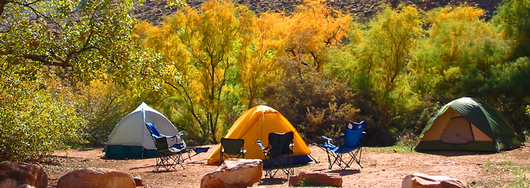
- Lodging + Campgrounds
- Area Info
- Services
- Transportation

Bureau of Land Management Campgrounds

Elevation
Sites
RV Length
Group Sites
Picnic Tables
Boat Launch
Horse Corral
Hwy 128, 6.2 miles from Hwy 191 – Payment by cash, check or Credit Card ROK at Big Bend Campground.
Hwy 128, 6.6 miles from Hwy 191 – Payment by cash, check or Credit Card ROK at Big Bend Campground.
Hwy 128, 6.9 miles from Hwy 191 – Payment by cash, check or Credit Card ROK at Big Bend Campground.
Hwy 128, 7.4 miles from Hwy 191 – Payment by cash, check or Credit Card ROK at Big Bend Campground.
Hwy 128, 8.1 miles from Hwy 191 – Payment by cash, check or Credit Card ROK at Big Bend Campground.
Hwy 128, 21 miles from Hwy 191, then 0.7 miles southeast on gravel road. Has corral for up to 8 horses. Payment by cash, check or Credit Card ROK at Hittle Bottom Campground.
Hwy 128, 21.5 miles from Hwy 191 then 1 mile northwest on graded road. Payment by cash, check or Credit Card ROK at Hittle Bottom Campground.
Hwy 128, 21.5 miles from Hwy 191 – Dirt Road access. Payment by cash, check or Credit Card ROK at Hittle Bottom Campground.
Hwy 128, 22.5 miles from Hwy 191 – Payment by cash, check or Credit Card ROK.
Hwy 128, 28.7 miles from Hwy 191 – Payment by cash, check or Credit Card ROK at Hittle Bottom Campground.
Utah 313, 12 miles from Hwy 191 – Payment by cash, check or Credit Card ROK.
Kane Creek Rd, 2.8 miles from Hwy 191 – Payment by cash or check.
Kane Creek Rd, 7.8 miles from Hwy 191 – Dirt road access. Reservable only through Recreation.gov.
The Ledge A, B, C, D, & E Campgrounds
Kane Creek Rd, 10 miles from Hwy 191 – Access to the Ledge Campground is down a tight, steep switchback and over several creek crossings on a gravel/dirt road. It is not recommended for vehicles over 22′ or vehicles pulling long trailers. – Payment by cash or check.
8.5 miles south of Moab off Hwy 191, then follow signs south on Spanish Valley Drive. Ken’s Lake Campground is now reservable via Recreation.gov.
16 mi north of Moab on Hwy 191, then approximately 1 mi on the graveled Mill Canyon Road (turn left at first “Y” on road). Large graveled parking area suitable for large RVs and/or trailers. Campsites 1-4 and 7-10 cash, check, scan and pay. Campsites 5 and 6 reservation only through Recreation.gov.
22 mi north of Moab on SR 191, take the graveled Road 143 and past the metal toilet (stay left at first “Y” on road). This campground also has the option to pay using the Recreation.gov mobile app.

Within 20 miles of Moab, camping is only allowed in developed campgrounds.
Primitive camping is available in certain areas outside of Moab (see map & legend below): These regulations apply to all primitive sites:

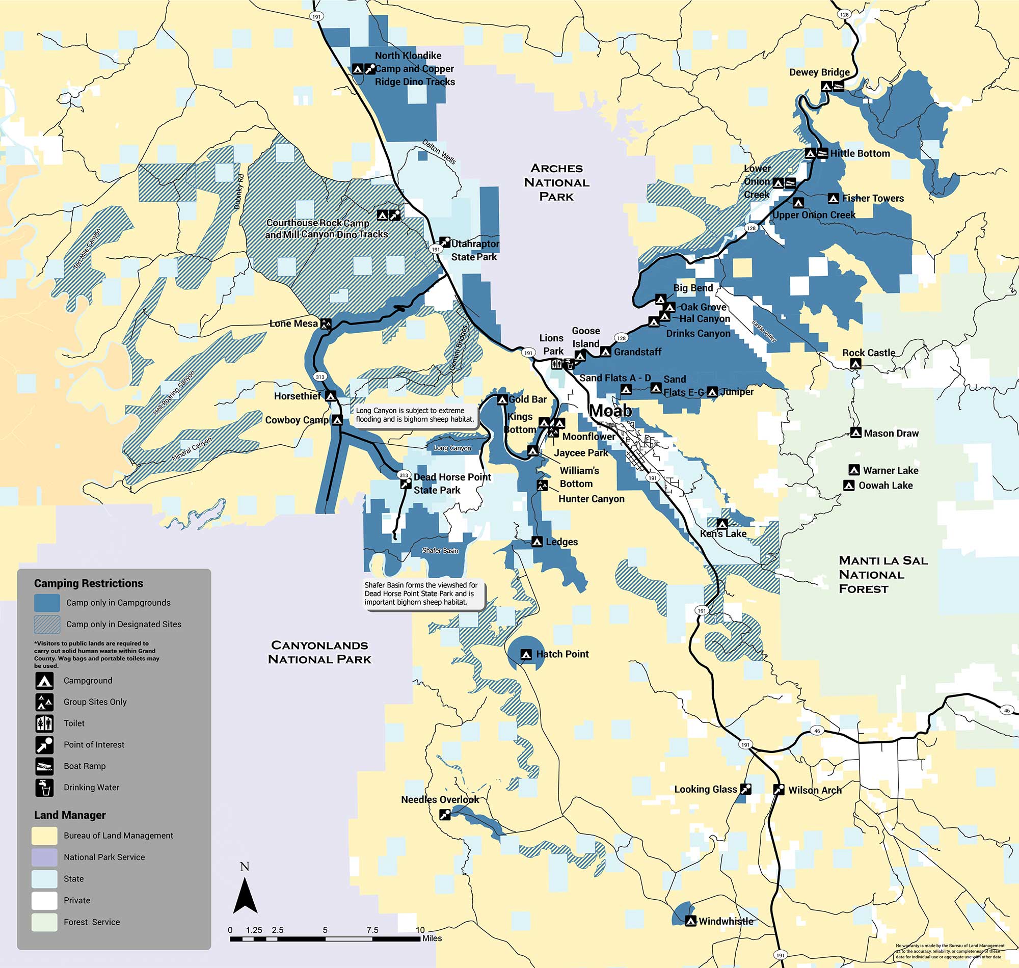
The areas with designated sites (marked with green hatch lines) are summarized below:
There are several areas in which no sites are designated and camping is not allowed (orange). The Shafer Basin, which forms the viewshed of Dead Horse Point State Park and is important bighorn sheep habitat, has no sites. Long Canyon, which is subject to extreme flooding and is also important bighorn habitat, has no sites. No camping is allowed in the Mill Creek area immediately east of the city of Moab, or on the west side of Spanish Valley. No camping is allowed within one mile of developed recreation sites in the Canyon Rims Recreation Area. If you have any questions about primitive camping restrictions please contact the Moab BLM Office at (435) 259-2100.
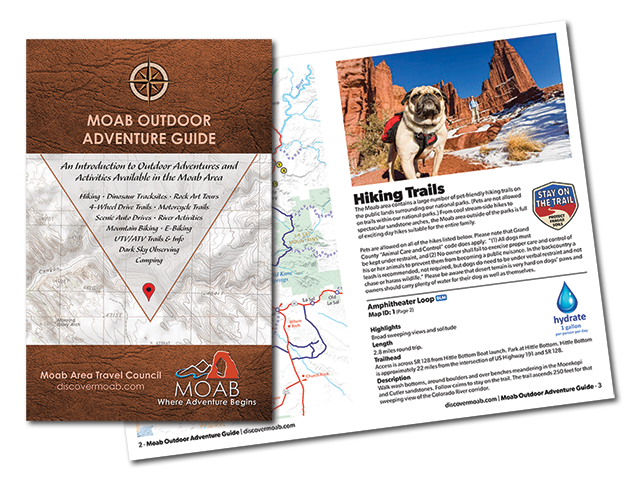
Introducing the Moab Outdoor Adventure Guide—a comprehensive resource showcasing the diverse range of adventures and activities awaiting you on the public lands surrounding Moab. Whether you’re drawn to hiking, off-road driving, river activities, scenic byways, dark sky observing, mountain biking, e-biking, rock art tours, camping, dinosaur trails, or exploring with your furry companions, this guide is your ultimate companion.
The Moab Outdoor Adventure Guide is now available, free of charge, at the Moab Information Center located at the corner of Main and Center Streets in Moab. For your convenience, an ebook version is also available for download. To access the guide online and embark on your virtual exploration, simply Click here.
This comprehensive guide is designed to lead you on the right path, ensuring you make the most of your Moab adventure. Discover the countless possibilities and make memories that will last a lifetime. Get your copy of the Moab Outdoor Adventure Guide today and let the excitement begin!
For a more optimal web experience, please view our site on Microsoft's recommended browser, Edge. You can download it here.